May 30, 2025
Nature
The historical landscape ecology of New York City
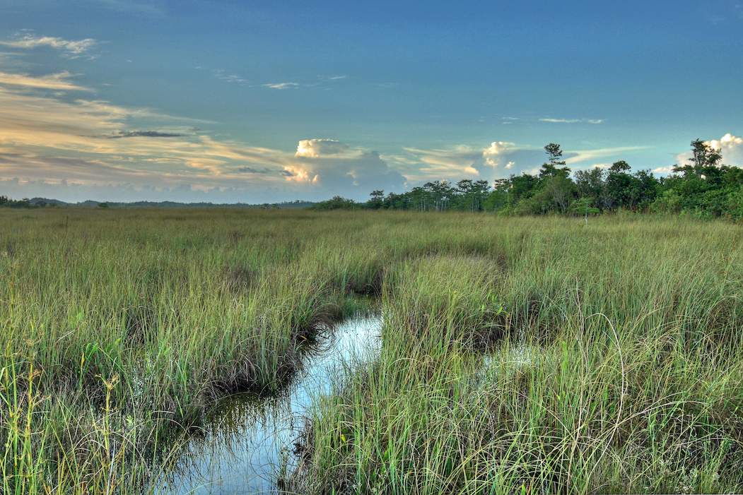
The land that would eventually become New York City was once a highly productive, biodiverse landscape of hills, valleys, forests, fields, freshwater wetlands, salt marshes, beaches, springs, ponds, and streams. For thousands of years before the arrival of Europeans, this terrain supported a rich and abundant community of wildlife—including Indigenous peoples. At its center was Mannahatta, the island that became Manhattan.
The Welikia Project (from the Lenape language, meaning “my good home”) seeks to root us in place by illuminating the rich ecological history that underlies the development of the city. By helping people better understand the land they live on, the project encourages long-term thinking and suggests alternative futures.
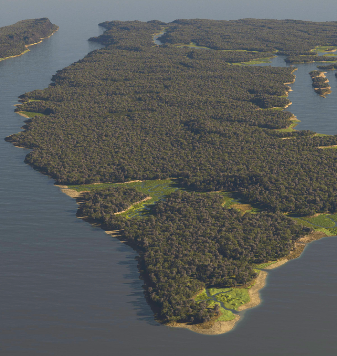
Welikia has blossomed into books, digital experiences, and innovative forms of art and visualization. Start by launching the Map Explorer: select a block to explore the native ecology of New York City, or search an address or landmark. I entered "Rockefeller Center" and was greeted with a digital rendering of the forest that likely once stood there—along with this description:
"Welcome to Rockefeller Center! This block used to be an appalachian oak-hickory forest community. Home to plants like starved panicgrass, white wood aster, and American chestnut and animals like the Meadow Vole, American Bittern, and Redback Salamander, this block was suitable habitat for over 356 species of plants and 67 species of animals.
"This block's ecological communities allowed for 90% more plant diversity and 97% more animal diversity than other blocks in the city.
"In addition to appalachian oak-hickory forest community, other ecological communities that existed on this block include hemlock-northern hardwood forest community and oak-tulip tree forest community."
You can get lost in here.
WEBSITE: The Welikia Project